Surface algae blooms
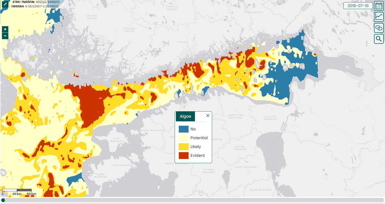
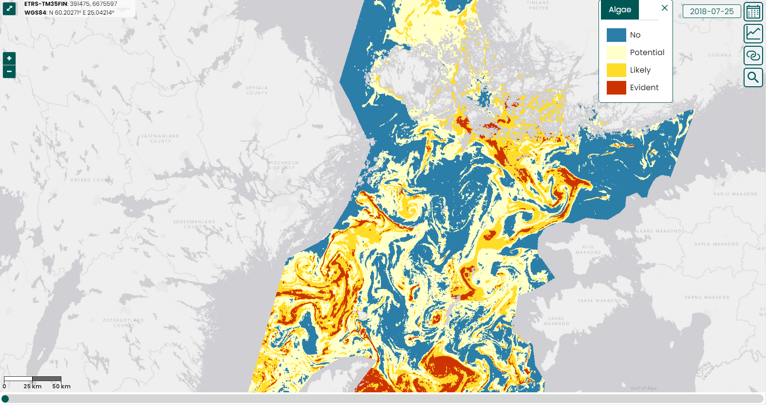
A four-class interpretation map of surface floating algae bloom rafts in the Baltic Sea region and especially in the sea areas surrounding Finland. The interpretation map describes the probability that surface algae will occur in a particular area. The map categories are 1) no surface algae, 2) possible, 3) probable, and 4) certain surface algae. Surface algae cannot be detected by optical satellite instruments through clouds, so a map of surface algae is not available from cloudy areas.
Interpretations are made from late June to early September, and longer if necessary. Algae rafts mainly occur mostly in July-August, so the number of surface algae observations is the highest during that period. The interpretation method is based on the intensity of the reflection detected by the different wavelength ranges of the satellite instrument, which is different in cyanobacterial areas than in areas with no surface blooms. A surface algae interpretation made from the area of individual pixels is generalized to a coarser one so that the areas of algae shown on the map are clearer. Cloudy areas are removed from the map area by an automatic cloud detection method, which is also corrected manually before publication, if necessary. The background reference map is visible in areas with land, clouds, ice or where observations are not available for some other reason.
The interpretation method has been developed at Syke and utilizes the observations of three different satellite instruments. For the interpretation of the entire Baltic Sea, ESA’s Copernicus Sentinel-3 satellite series OLCI instrument (OLCI) is used, which detects at 300 m spatial resolution. In the coastal sea areas surrounding Finland, also instruments with high spatial resolution are used; the observations of the Sentinel-2 series MSI instruments and NASA’s Landsat-8 satellite OLI instrument. For these satellite instrument observations, the algae bloom map is made with a spatial resolution of 60m, so the interpretation area extends to archipelago areas and areas close to the shores. With this resolution the observations are obtained from varying sea areas every few days.
Annually, a summary map of all summerly observations is compiled for the summary algae reviews
Examples


References
Anttila, S., Fleming-Lehtinen, V., Attila, J., Junttila S., Alasalmi, H., Hällfors, H., Kervinen, M., Koponen, S., (2018). A novel cyanobacterial surface accumulation indicator for the Baltic Sea. A novel earth observation based ecological indicator for cyanobacterial blooms. International Journal of Applied Earth Observation and Geoinformation 64:145-155. DOI: 10.1016/j.jag.2017.09.007. Available online (Oct/2017): http://www.sciencedirect.com/science/article/pii/S0303243417301964