SAR-datasets
Radar observations are available in Land Cover and Lake Ice Service themes. Data is updated daily.
The radar observations are derived from synthetic aperture radar (SAR) observations captured by Sentinel-1A, Sentinel-1B, and Sentinel-1C, part of the Copernicus Sentinel-1 -mission. These SAR images have been continuously acquired since April 2014, but Sentinel-1B only contributed data between April 2016 and December 2021 before ending data transmission. The primary imaging mode employed is the Interferometric Wide-swath (IW). These images undergo baseline processing in the Ground-Range Detected High Resolution (GRDH) mode, which contains only the amplitude information of the backscatter observation.
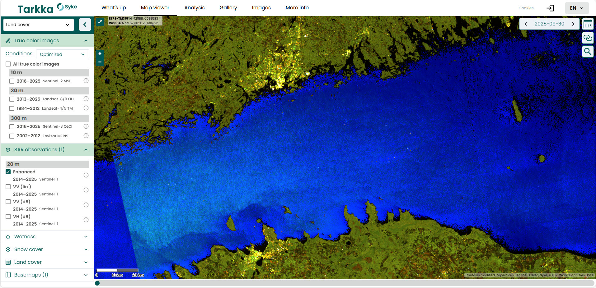
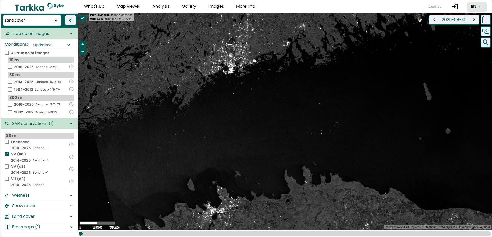
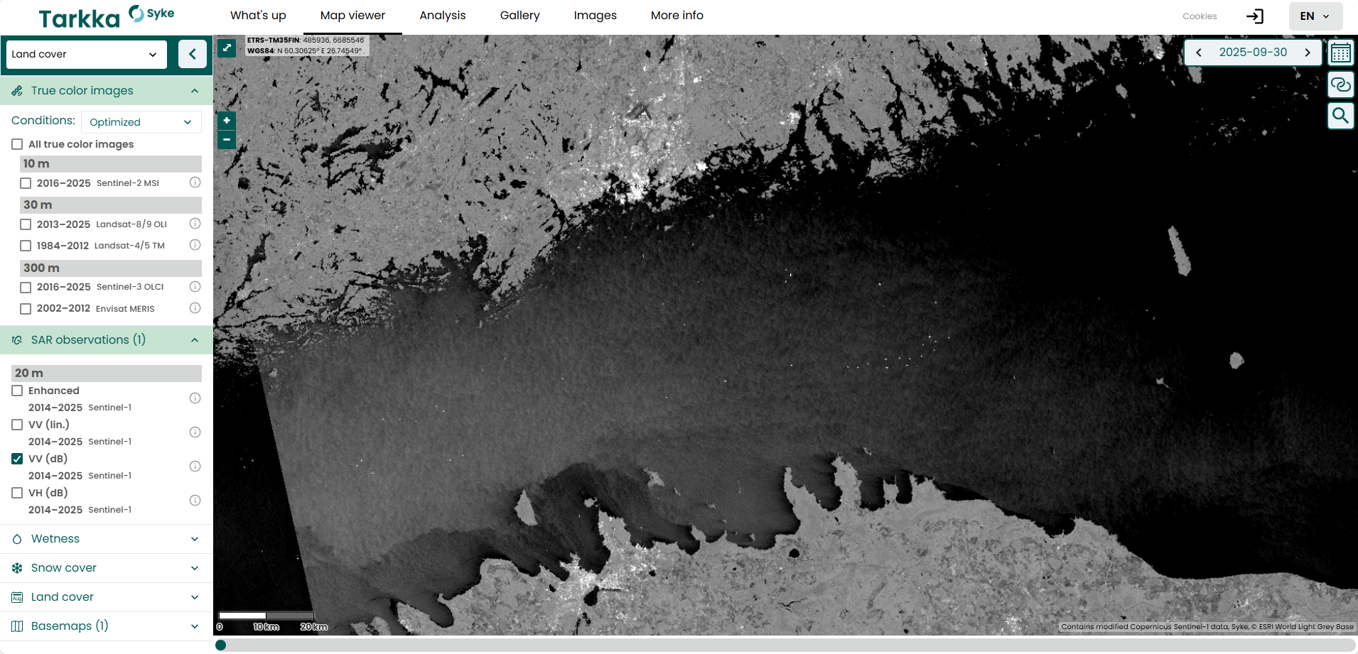
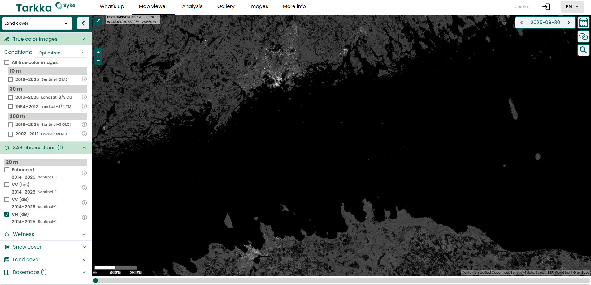
The SAR visualizations present the VV (Vertical–Vertical) and VH (Vertical–Horizontal) -polarized C-band backscatter from the Earth’s land surface. Each pixel within the scene is spaced at 10 meters, providing detailed information about the surface characteristics. The data are orthorectified with Copernicus 10 m digital elevation model (DEM) inside 39 European states (including islands), while elsewhere they are processed with the 30 m DEM. Radiometric terrain correction is applied, resulting in gamma zero backscatter coefficients.
The SAR visualization layers offered in Tarkka are:
The processing of the radar imagery utilizes the data and processing capabilities of Sentinel-Hub by Sinergise Ltd. These radar products are not available as a WMS service but can be accessed for analysis and interpretation through Tarkka web application.